On this walk we pass by the southern foreshore of Skegness, via the boating lake Leaving the holiday resort behind as we proceed south into natural unspoiled coastal salt-marsh and unspoiled countryside. There is an excellent view-point with panoramic views of the Norfolk coast and Hunstanton on a clear day. We return by road, and then finishing the walk through beautiful wooded pathways.
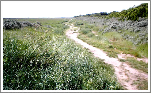
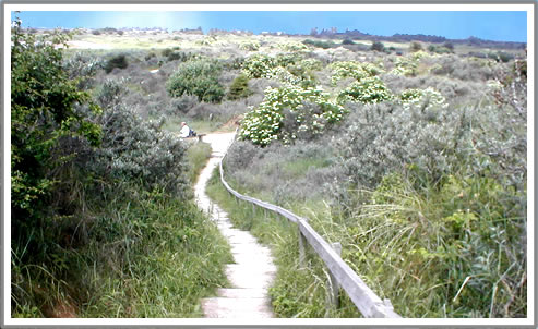
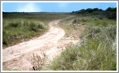
Our walk begins at Skegness Pier. and we proceed south (sea on the left side). Follow the waterway canal to Skegness Boating Lake and take a little time to explore the many pathways and secluded gardens surrounding the lake. After passing by the boating lake, proceed south, passing public toilets and a car park (do not cross to the beach). Join a sandy path at the far end of the car park and proceed in the same direction. The interesting path gradually leaves the resort, entering refreshing, unspoiled natural coastal landscape. High sand hills are observed to the right and green marshland to the left. Differing seasons provide a variety of natural flora colours. The path gently meanders around the sand dunes, sculptured by a combination of weather and the effects of erosion caused by an occasional high tide.
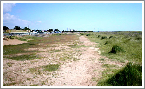
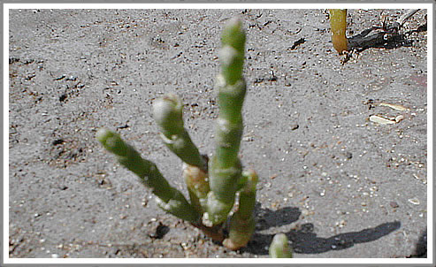
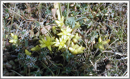
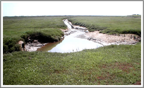
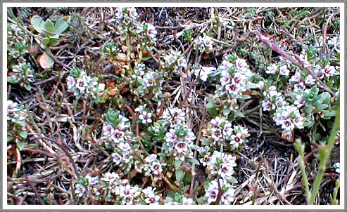
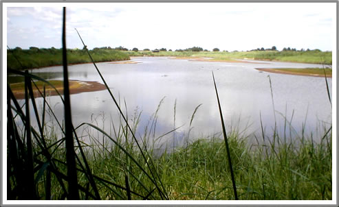
Shortly we arrive at the boundary of Gibraltar Point Nature Reserve, a natural open landscape covering several square miles of totally unspoiled coastline. Note the square wooden stumps driven into the ground defining the boundary in a east, west direction. At this point it is well worth taking a short detour in a westerly direction peeking over the sand hills to observe a natural, shallow salt water lake, known locally as "The Lagoon". As the path continues southwards, changes in flora become very evident and tiny, unusual colourful salt marsh plants are delightful to observe. In some areas, samphire plants flourish. Samphire is a fleshy plant that thrives on salt marsh. In times gone by, many locals gathered and pickled the leaves in vinegar, a delicacy with a salad meal. It is said that the sea never covers samphire by more than 18 inches (45 cm.). The landscape gradually becomes more void and wild and it is not uncommon to observe the occasional rabbit, fox or an abundance of migrating birds. Natural creeks cut deep into the silt / sand surface meandering crazily in in all directions. It is advisable to keep to established tracks on the right side, to avoid coming to an abrupt halt where such creeks drain into the sea and should not be crossed.
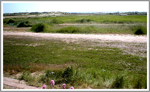
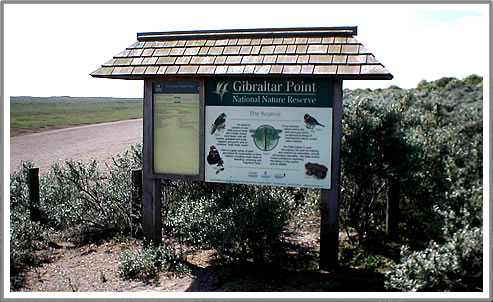
Arriving at an opening in the Sand hills on the right after about 1 1/2 miles, look for a walkway that climbs to an observation point. After ascending the narrow sandy path, take a little time to enjoy the splendid coast views from the observation platform. To the southeast (on a clear day) the coastline of Norfolk is very apparent and the town of Hunstanton is clearly visible. Views to the south, west and east provide an insight to the size and nature of the reserve. This is as far south as this walk is documented and at this point we continue west. The coast continues for a further 3/4 mile (depending on tide) after which it is not possible to proceed further south, due to the River Steeping estuary. Visitors wishing to explore this area would discover Gibraltar Point Visitor Centre, where much information relating to wild life and vegetation may be found. A detailed walk around this area will be covered in depth in a separate publication
During World War 2 the coastline was defended against invasion by a series of "Pill Box" defences. There are several structures remaining that may be observed in this area. Arriving at an opening in the Sand hills on the right, look for a walkway that climbs to an observation point. After ascending the narrow sandy path, take a little time to enjoy the splendid coast views from the observation platform.
To the southeast (on a clear day) the coastline of Norfolk is very apparent and the town of Hunstanton is clearly visible.
Views to the south, west and east provide an insight to the size and nature of the reserve.
This is as far south as this walk is documented and at this point we continue west away from the coast. The coast continues for a further 3/4 mile (depending on tide) after which it is not possible to proceed further south, due to the River Steeping estuary. Visitors wishing to explore this area would discover Gibraltar Point Visitor Centre, where much information relating to wild life and vegetation may be found. There is also a refreshment area. A detailed walk around this area will be covered in depth in a separate publication.
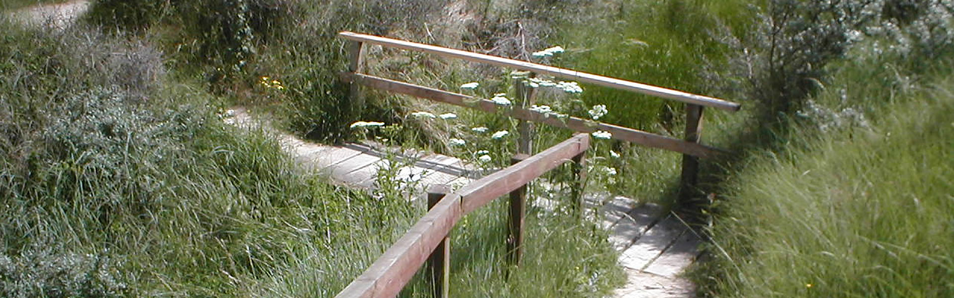
Leaving the observation point, we travel inland, crossing the nature reserve.